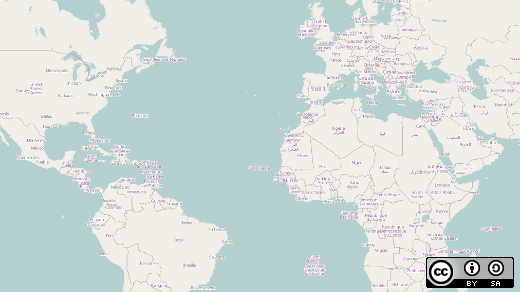
Maps touch our lives daily. Whether you are trying to find a nearby point of interest or directions to a faraway land, maps help us find our way. In recent years, maps have moved from paper into the digital world of cartography and open source contributors have been in the trenches gathering data for the masses.
In 2006, a group of map enthusiasts formed the OpenStreetMap Foundation. Registered in the United Kingdom as a not-for-profit organization it quickly grew to become a 400,000 person strong organization. Since the beginning of the project, volunteers from every continent have put their mark on the map showing where everything from roads to bike paths and from fire stations to ice cream stores are located. The information is licensed with copyleft licenses which allows anyone to use the information to build their own maps both paper and digital.
Creating the data is the challenging, and fun, part of the project. The United States maps got a head start by importing the Topologically Integrated Geographic Encoding and Referencing, or TIGER, maps from the United States Census Bureau into their databases. While this data wasn't free of errors, at least it gave people a place to start working and the country was no longer a blank slate. The maps truly came into form when volunteer cartographers walked, drove, and biked roads and trails with GPSs to obtain tracks that were later used as data points. Other volunteers traced satellite imagery to outline buildings, create roads, and mark points of interest. All of this data helps create a more complete picture of an area.
Other countries aren't as lucky as the United States with their public data. Open source mapping data was sparse in Haiti before the earthquake and subsequent tsunami of 2010. International emergency workers found that commercial providers didn't have much in the way of data either. As reported by Andrew Turner, the mapping community created maps of the country in just 12 days using historic maps and satellite imagery. That data was then formatted to be downloadable into GPSs that were used by aid workers on the ground. This data was provided to make it easier to move aid resources around the country and to get a better understanding of the impact of the disaster.
So what can you do with all this data? Well, pretty much anything you want. On a recent trip into Washington, DC, I decided to test the community data. Using the Open Street Map Automated Navigation Directions (OsmAnd) application, I plotted a course to the National Building Museum roughly 26 miles away. With only one turn not being available due to construction, I arrived at the musem around 40 minutes later. A success for the open source project! To help give back to the community, I added a new point of interest as we ate lunch at a new restaurant that hadn't made it to the maps just yet.
Recently the OpenStreetMap project has gained several sister projects including OpenHikingMap, OpenSeaChart, and OpenAeroChart. People are finding data wherever they go and most importantly they want to share what they find. But isn't that just the open source way?


3 Comments